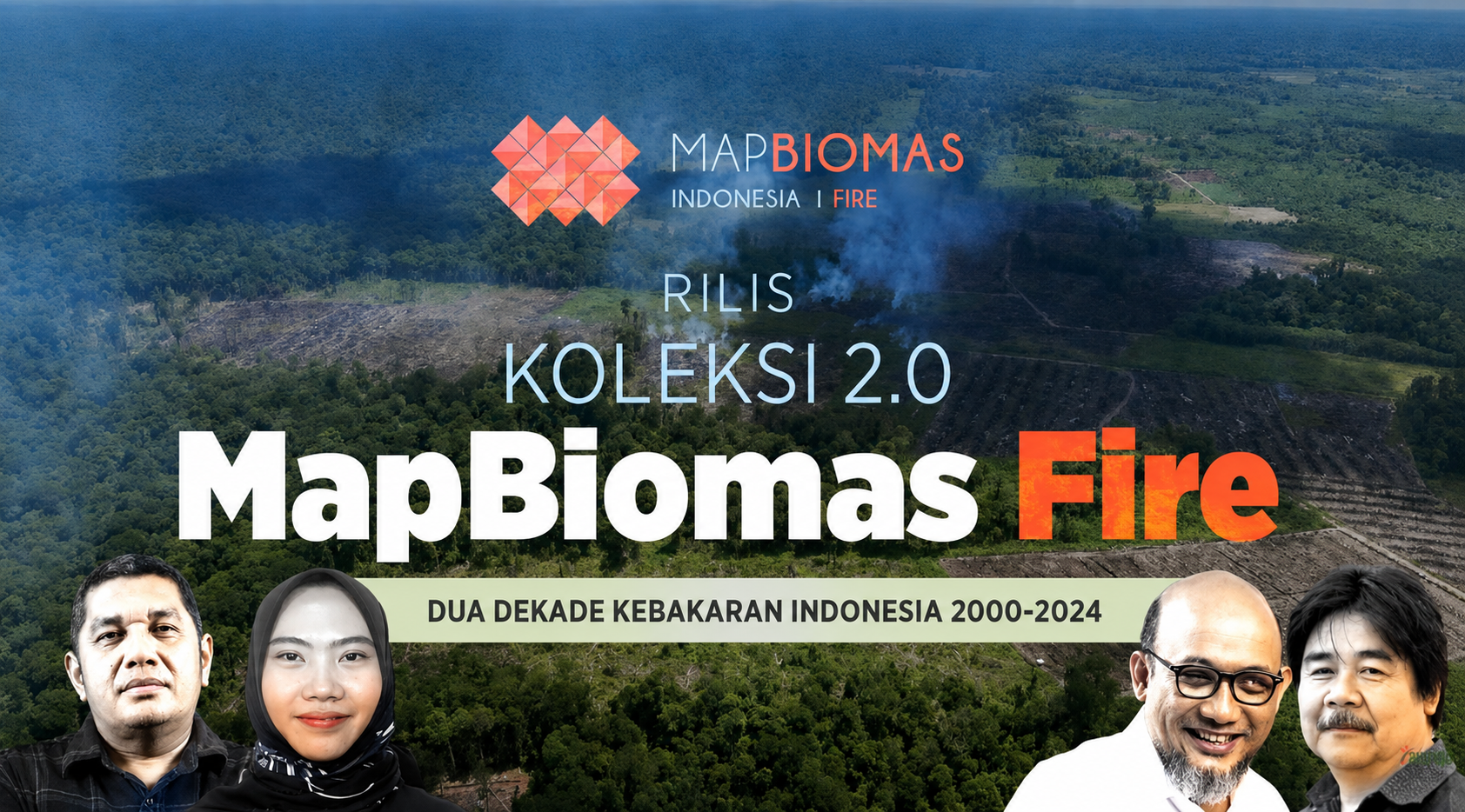
Jakarta, 16 December 2025—A year after releasing Collection 1, which mapped burned areas in Indonesia from 2013–2023, MapBiomas Indonesia | Fire – commonly known as MapBiomas Fire – launched Collection 2, presenting annual burned area data for Indonesia from 2000–2024. The launch was held virtually and featured three speakers: Sesilia Maharani Putri (Technical Coordinator of MapBiomas Fire), Prof. Bambang Hero (Professor at IPB University, and forest and land fire expert), and Novel Baswedan (Indonesian National Police Special Task Force).
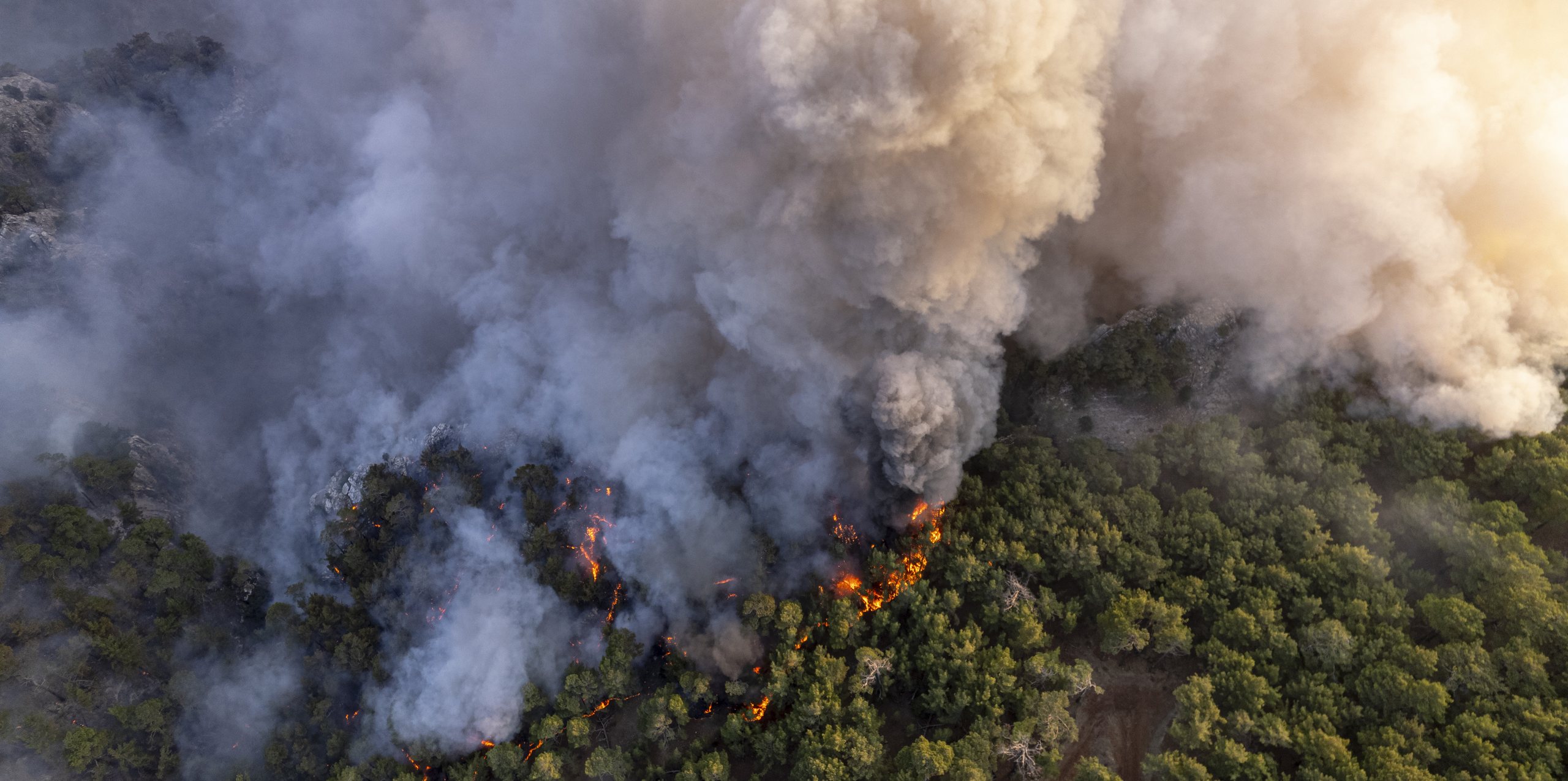
In addition to explaining the methodology applied by MapBiomas Fire, Sesilia also presented data and information on annual burned area in Indonesia spanning the years 2000 to 2024. Of the 9.5 million hectares burnt during this period, 4 million hectares had burned repeatedly. She also noted that only 1.2% of fires had occurred in areas with natural forest cover.
According to Prof. Bambang Hero, historical data – such as that presented by MapBiomas Fire – is essential for identifying fire-prone areas. He highlighted the need for specific standards – such as the Fire Danger Rating System (FDRS), which Indonesia already references – for more effective fire management. He stressed that effective fire management requires early warning systems, monitoring, an end to negligence, adequate funding, and government commitment, including commitment from regional governments.
Looking from a law enforcement perspective, Novel Baswedan stressed the importance of fire data transparency, given the enormous impacts that fires can have. He suggested that outreach efforts should be optimized to make data available for use in official forums. In his view, MapBiomas Fire data should be discussed with other relevant parties in order to have greater impact.
The newly released data and maps showing burned area from 2000–2024 are available for public access through the MapBiomas Indonesia platform. These open-access data and maps are available for the public, researchers, governments, and civil society organizations to use as resources for supporting analysis, monitoring, research, and efforts to mitigate forest and land fires in Indonesia.
The virtual launch of MapBiomas Fire Collection 2 can be viewed through this YouTube link.