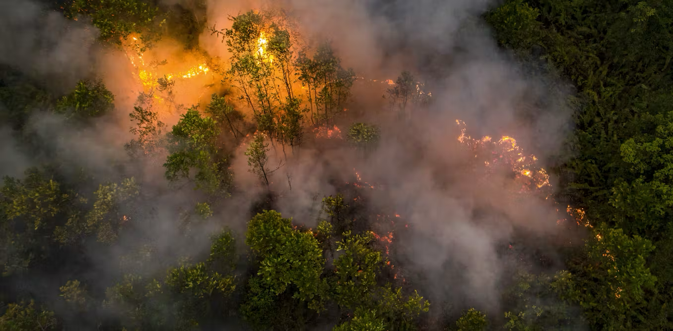
After successfully mapping annual land cover dynamics through MapBiomas Land Cover Dynamics (LANDY), MapBiomas Indonesia launched the MapBiomas Indonesia Fire program in 2023 to map burned areas across the country.
Burned areas are mapped by analyzing Landsat satellite imagery using Google Earth Engine computational technology combined with deep learning algorithms to ensure consistent and accurate detection across Indonesia.
The first collection of MapBiomas Indonesia Fire released annual burned area data for 2013–2023. In Collection 2.0, the data coverage expands to more than two decades (2000–2024), providing additional information such as recurrent fire patterns, fire occurrence timing, and land cover before and after burning to support deeper analysis.
Moving forward, MapBiomas Indonesia Fire will continue to update its annual data and develop monthly burned area mapping, particularly during peak fire seasons, to provide more detailed and relevant information for monitoring, risk mitigation, and policymaking related to fire management in Indonesia.
Contact
To communicate with MapBiomas Indonesia, please email us at contact@mapbiomas.id.