MapBiomas Indonesia will apply knowledge secured through this training to develop MapBiomas Indonesia | FIRE, which is planned for release in the third or fourth quarter of 2024
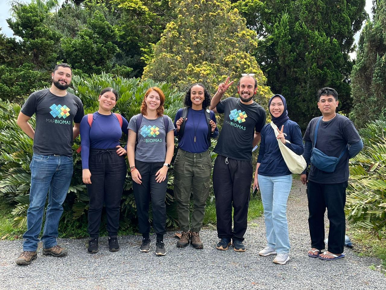
Brasilia, 1–5 April 2024 — Two MapBiomas Indonesia team members, Yustinus Seno and Sesilia Maharani Putri, joined advanced training in burnt land mapping at the Instituto de Pesquisa Ambiental da Amazônia (IPAM) in Brazil.
The training was a continuation of earlier sessions held in Jakarta in May 2023, when two instructors from IPAM, Dr Ane Alencar and Dr Vera Arruda, visited Jakarta to provide foundation training to the MapBiomas Indonesia team. Following the initial training, MapBiomas Indonesia commenced technical operations in mapping burnt land in Indonesia within the framework of MapBiomas Indonesia | FIRE or MapBiomas Fire.
During this week-long training, the IPAM team, which coordinates the development of burnt land maps in Brazil by the MapBiomas Brasil network, relayed how MapBiomas Fire had been developed in Brazil, explaining technical details like post-clarification measures, statistical analyses, and development of the burnt land data platform, as well as the designing of derivative products, like monthly fire frequency and accumulation. Other topics discussed were the preparation of Algorithm Theoretical Basis Documents (ATBDs) and preparing statistical data for display on public dashboards.
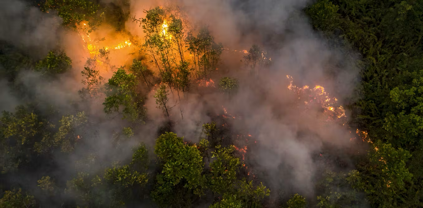
In addition to outlining technical matters, the training also provided an opportunity to share ideas on fire monitoring in the two countries. During the session, the MapBiomas Indonesia team presented Indonesian fire data, including causes, the unique nature of peat fires, and land governance challenges.
MapBiomas Indonesia will apply knowledge secured through the training to develop MapBiomas Indonesia | FIRE, which is planned for release in the third or fourth quarter of 2024.